Monte Beigua Geopark
Mount Beigua holds many surprises for first time hikers. This unique area rises between the Alps and the Apennines and offers 500 km of walking trails and various outdoor activities. The activities range from birdwatching to observing geological outcrops, from discovering floral endemic entities to viewing amazing sceneries at 360 degrees and from canyoning in the waterfalls to mountain biking down the steep trails and last but not least, gives you the concrete possibility from March to November, to swim in the blue water of The Mediterranean sea at the end of your journey in the Beigua Unesco Geopark.
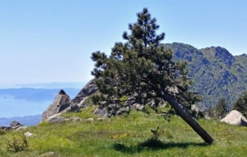
The terrain that one encounters inside the park is unique and very diverse: from flowing grasslands of the summit plateaus facing the blue sea one comes upon dense forests of beeches and chestnuts to then find oneself in the middle of steep and rocky alpine like slopes that dissolve into mild green hills that lead down to the Po Valley.
Circular hike to Monte Rama, 1400 m + overall.
It is a demanding hiking in a wild area of Beigua Unesco Geopark. The ascent is along the Via Direttissima of Monte Rama, a direct, steep EE route to one of the most alpine and rocky area of the Parc.
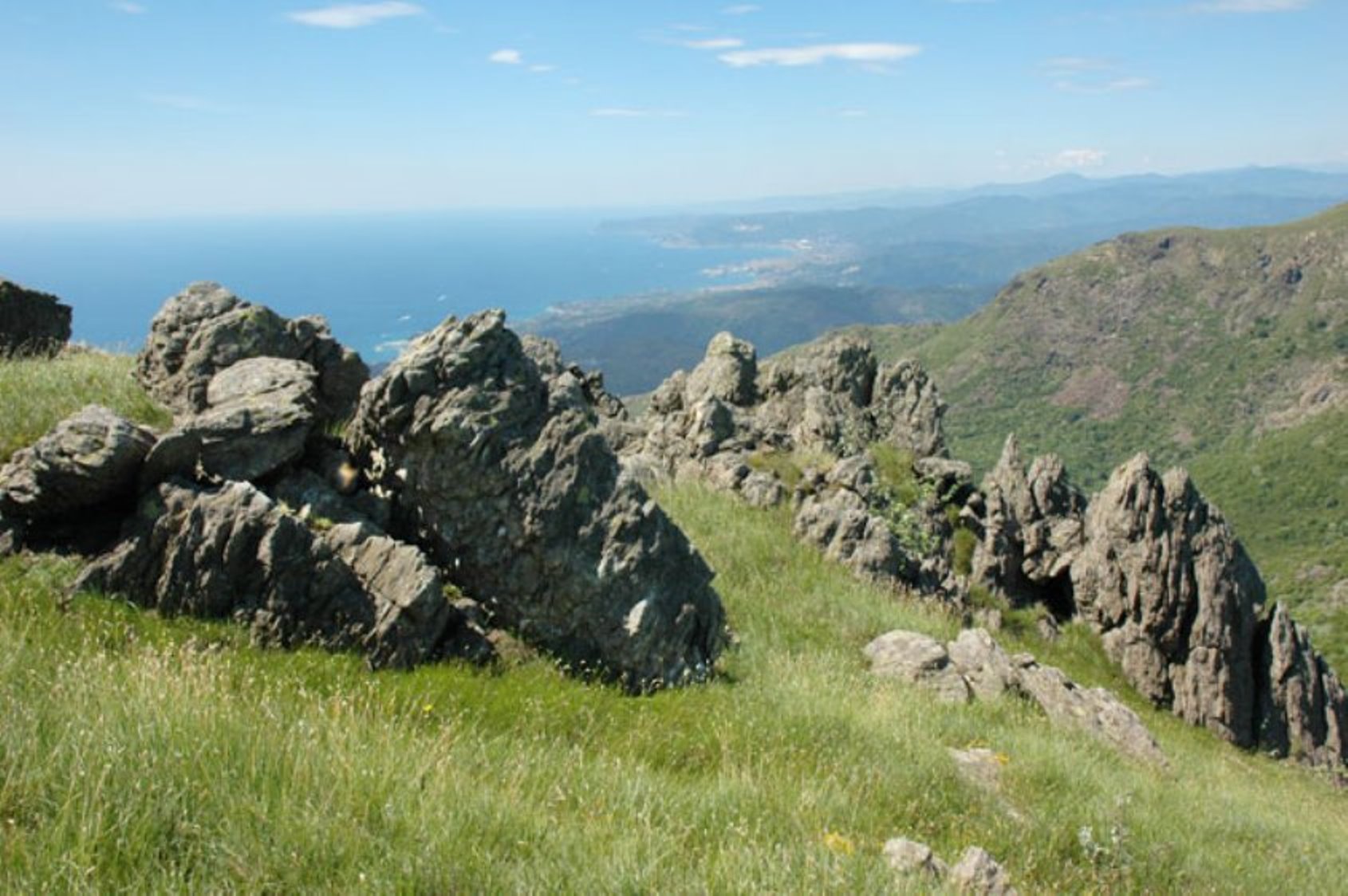
The panorama: here On clear the view embraces the entire Ligurian arc, from the Apuan Alps on one side to the French Riviera and Montecarlo in France on the other. To the north it is possible to see a good part of the Alpine arc, reaching on clear days the Central Alps and the Switzerland! From the top of Monte Rama we’ll walk the summit highlands, open towards the prairies and blue of the sea up to Monte Argentea from which a long descent through the steep south face take us back to the starting point not before 16.00. picnic lunch.
Three day hiking tour 1600 + overall
1st day 4hrs 1100m +
2 nd day 3hrs 400m +
3 rd day 4 hrs 100m +
The three days hiking tour gives you a complete panorama of the Unesco Beigua Geopark, starting from a typical Italian Riviera village nearby the city of Genova then go up and across the typical Mediterranean scrub and then finish on a windy ridge that is 1000 m above sea level overlooking the city of Genova…
The second day takes us to the heart of Mount Beigua Park, where we hike across the high summit from east to west, walking along the Alta Via dei Monti Liguri, with a view that ranges from Monte Rosa to the Apuan Alps in Tuscany.
The Alta Via offers a spectacular view of two worlds: From one side of the ridge water rushes down the steep slopes into the Mediterranean Sea and from the other side of the ridge water flows slowly through mildly sloping chestnut forests and continues its way toward the Po Valley where it ends up in the Adriatic Sea after 600 km.
The third day is a hike across the moorlands and the humid forests, passing by archeologic and historical places of interest while slowly approaching the sea.
The three-day hike concludes with a swim in the crystal water in one of the uncrowded picturesque beaches of the Coastal Park of Piani d’Invrea.
giro dei Forti di Genova 300+
8,30 moving by car to Genova
9,30 old train station Genova Casella. This is a small historical train (1929) that led to the heights of Genova
10.00 “giro dei Forti di Genova” tour of the fortresses 300+ m: an amazing tour on the heights of Genova watching the imposing defensive system of fortifications that defended the city in ancient times with open views on the town and the port.
13,30: arriving in Righi hills. Picnic lunch
14,00 Historical cable railway from the city hills to the centre of the town. The ascent with small train and the descent in the hearth of Genova with cable railway is for itself an experience;
14,30: short tour of Genova including the Unesco Strada Nuova and Palaces, the historical centre and the ancient Port Area.